
Architecture
Figure-ground plans, site plans and aerial photos as a base for design, competitions and studio work – to scale, and as DXF for CAD.

Custom site plans for architecture, urban planning and real estate. Any place, any style, any format.
No sign-up, no installation. All in the browser. Free to start.
One tool, three ways of working: pick the plan type that fits your job and start from its template.
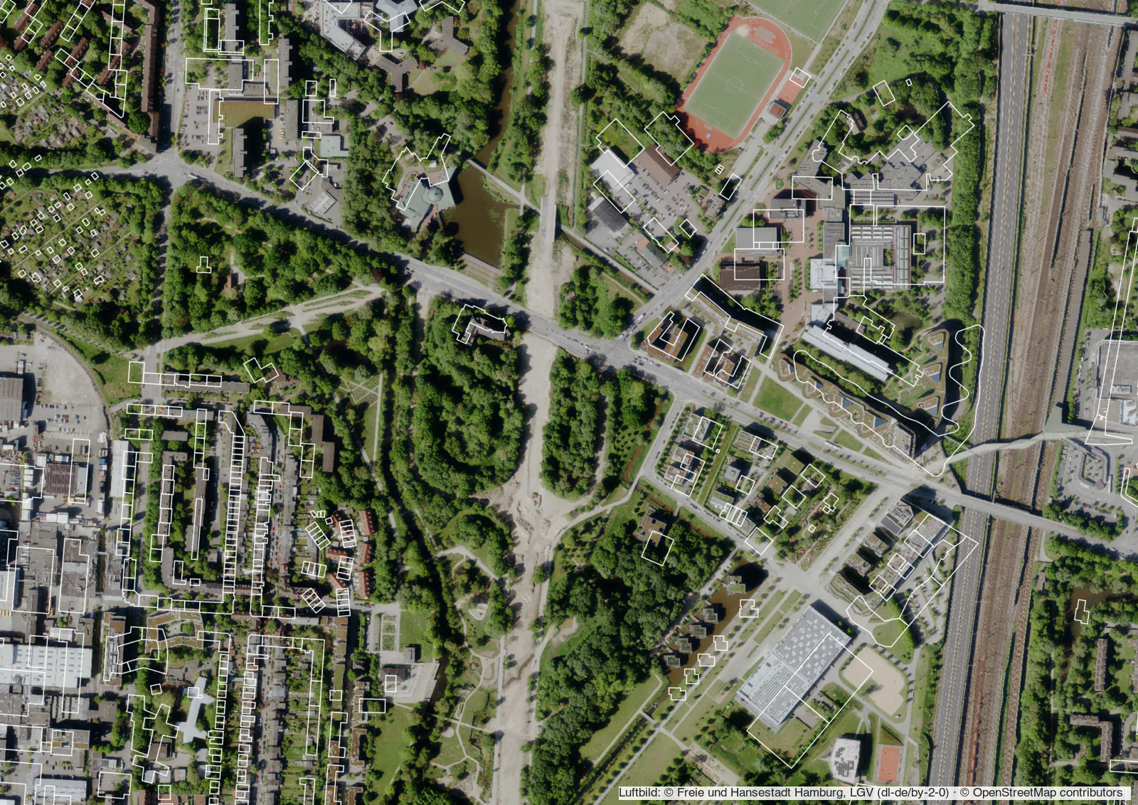
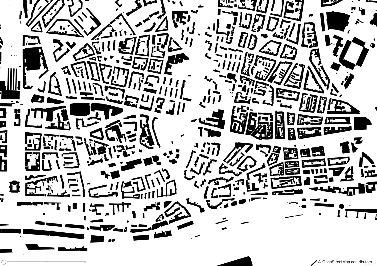
Figure-ground plans, site plans and aerial photos as a base for design, competitions and studio work – to scale, and as DXF for CAD.
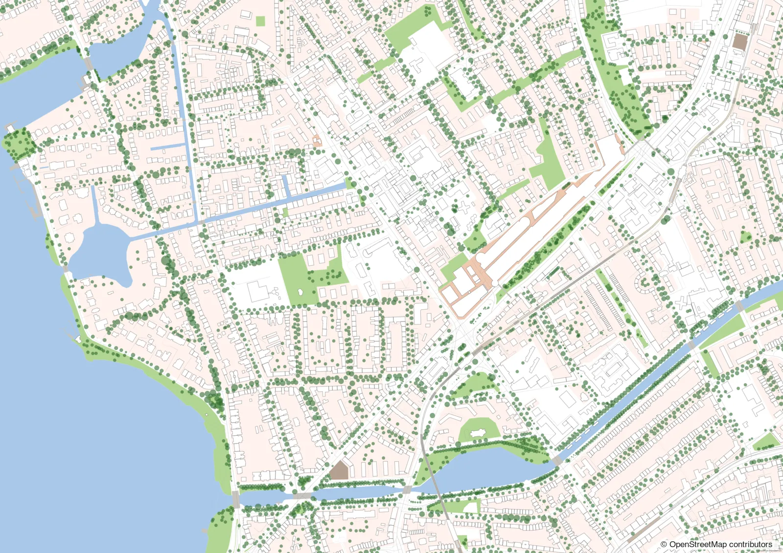
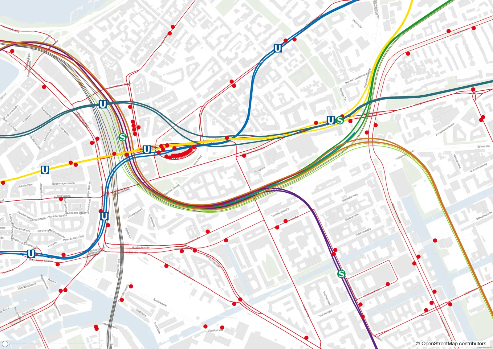
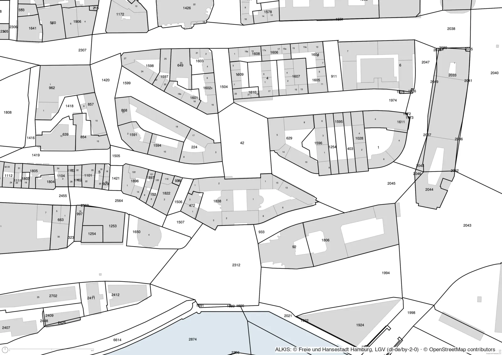
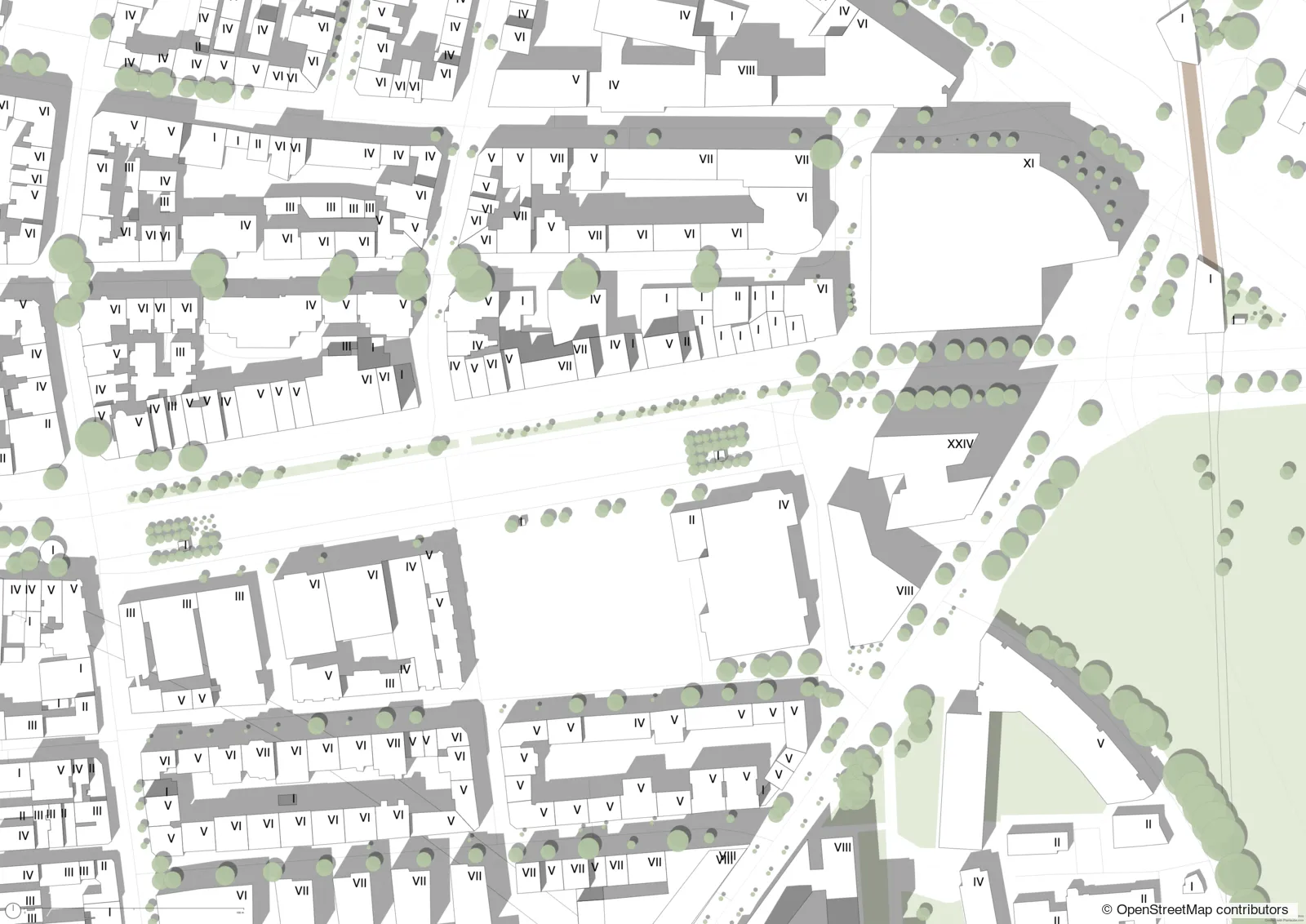
Urban design plans with floor counts and cast shadows, public transport access and cadastral parcels for analysis, masterplans and public engagement.
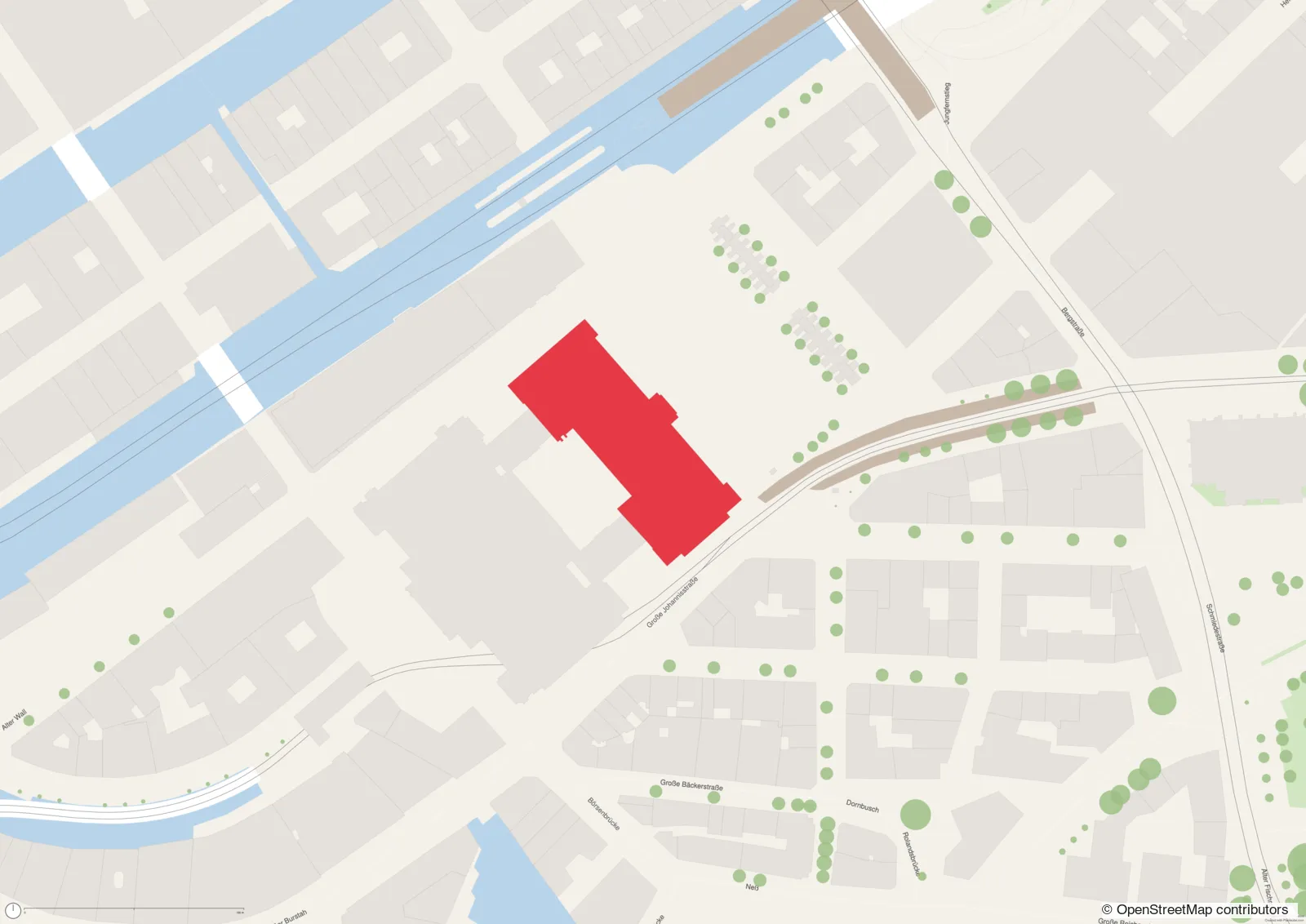
Location maps for listings: the property highlighted, its connections visible, everything in your own brand colours.
Pick your area, add the layers you need, and style every detail — for a design study, a planning submission or a property listing.
Building footprints with custom fill, outline and automatic house numbers.
Model floor counts and heights, with level labels placed on each building.
Cast accurate building and tree shadows from any sun angle and length.
Load trees from OSM or detect them automatically from aerial imagery.
How to draw trees for your own plans →Parks, greenery, rivers and lakes with editable fills and textures.
Roads, footways and railway tracks, with widths and colours under your control.
Metro, rail, tram and bus lines with their stops, drawn in their own line colours.
Draw the walking, cycling or driving route between two places right onto the plan.
Add terrain contour lines to give your plan topographic context.
Mark building entrances with arrows you can drag right along the wall.
Bring in GeoJSON, WFS, WMS and live OSM Overpass queries.
Official German cadastral parcels and land-use straight from the state WFS.
Set paper size and scale, add a north arrow and scale bar, rotate the frame.
Start from a ready-made template, or save your own style and reuse it on the next plan.
Print-ready PDFs, editable SVG, high-res PNG, CAD-ready DXF, or the raw GeoJSON data.


Procedural trees in plan view and in side view for architecture and urban planning: as many as you need, each one different, as vector SVG and PDF or as PNG – for Illustrator, CAD and more.

Making a proper urban design plan, trees, shadows, floor counts and all, usually takes far longer than it should.
I’m an urban planning student with a technical background, and that gap kept bugging me. So I started building the tool I wished I had: pick a location and a plan size, and everything comes straight from OpenStreetMap.
From there you shape the plan right in the browser: choose your layers, fine-tune colors and lines, add shadows and textures, then export it to scale as PDF, SVG or PNG. That’s it.
It’s free to try, it keeps growing, and I build it in the open. If you try it and something’s missing, I’d genuinely love to hear from you.
Julian Lindner · urban planning student
LinkedInWhether it’s a competition entry, a planning submission or a real estate listing: Plantaube runs entirely in your browser, and getting started is free. Built by Julian Lindner. It’s a work in progress, and feedback is always welcome.
Open Plantaube