
Location map for property listings
Enter the address and you are done: Plantaube draws the property’s surroundings as a clean, friendly map and highlights the building – ideal for listings, websites and marketing.
Start with this templateOpens Plantaube with the template applied. Free, no sign-up.
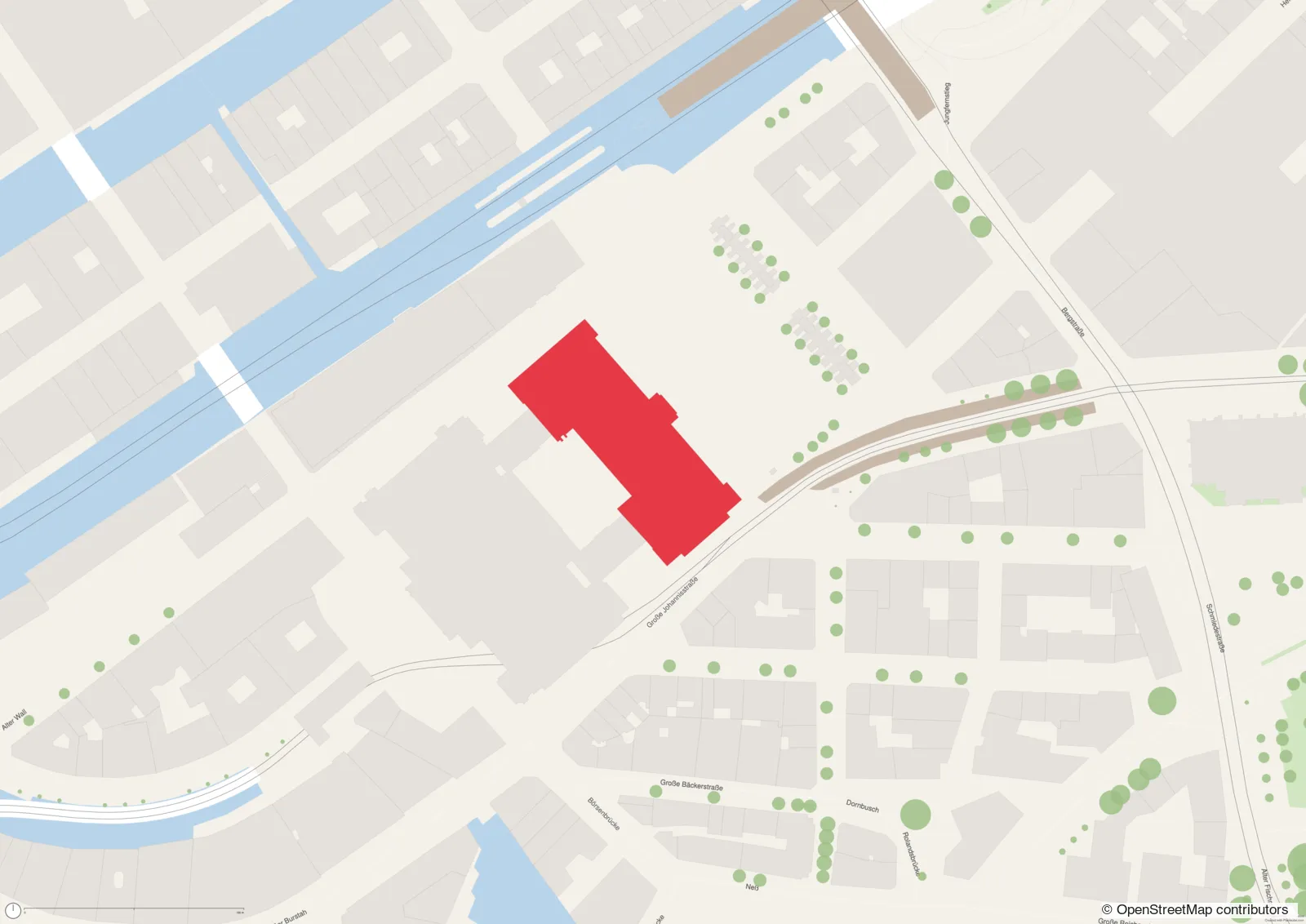
What the location map shows
Buyers and tenants want to know where a property is and what is around it. The location map shows the micro-location: neighbouring buildings, named streets, parks, trees and water, in one calm, consistent style rather than a busy map screenshot.
The building at the searched address is highlighted in an accent colour automatically. Adjust colours, extent and scale to your brand and save them as a template for the next property.
What it’s for
Listings
A micro-location map for sales and rental listings.
Portals & websites
High-resolution PNG for property portals and your own site.
Marketing
Consistent location maps for every property in a portfolio.
How to make it in Plantaube
- 1Search for the property’s address in “Search Location” and pick the result.
- 2Choose paper size and scale, then click “Continue to Adding Layers”.
- 3The building at the address is highlighted. Adjust colour and style as you like.
- 4Export as PNG, PDF or SVG.
Frequently asked questions
Can I use the map in a listing?
Yes. The map data comes from OpenStreetMap under the ODbL; credit it in the listing as “© OpenStreetMap contributors”.
What if the wrong building is highlighted?
The building at the position returned by the address search is highlighted. If that position is off, pick another search result or recolour the building right on the map.
Can I use my company colours?
Yes. Every colour can be changed and saved as your own template, so every map looks the same.
More plan types
Site plan
The colourful Plantaube standard: buildings, trees, green space, water and land use.
Public transport map
Metro, rail, tram and bus lines with their stops – around any location.
Aerial photo plan
Official aerial photo with building outlines – to scale.
Figure-ground plan
The urban fabric at a glance: black buildings on a white ground.
Parcel map
Official German cadastral parcels (ALKIS) with numbers, buildings and house numbers.
Urban design plan with shadows
Building masses with floor counts and cast shadows – competition style.
Dark site plan
Greyscale on a dark ground – for presentations and screens.